Trail Name: Helmcken Falls Rim Trail
Distance: 7.9 kms
Time: 2 hrs
Difficulty: Easy
Cell Service: No
Dog friendly: Yes, on-leash
Trail: Single track forest trail
Highlight: A unique view of the majestic Helmcken Falls
To get there: This hike is located just north of Clearwater at the south end of Wells Grey Park. Take the Yellowhead Hwy (5) about 122km north from Kamloops. When you arrive at the roundabout in Clearwater, take the 3rd exit to head North on Clearwater Valley Rd. Continue driving for about 40km. You’ll pass Spahats Falls, Moul Falls, and Dawson Falls before turning into a signed parking area on your left. If you make it to the bridge over the Mushbowl, you’ve gone too far. Or get directions here.
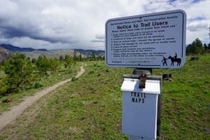
The trailhead starts from the Helmcken Falls Rim Trail parking lot. Follow the trail as it heads into the lush forest. The rooty trail follows alongside the Murtle River until you reach the crest of the falls. From here, the trail follows along the top of the cliff. Continue until you find a suitable view of Helmcken falls.
The viewpoint at the end of this trail can be quite dangerous. It is a sheer cliff with no barriers for safety. Please keep that in mind when hiking this trail with pets and small children or when the trail might be icy. Overall, this trail is quite easy and offers a unique perspective on the well known Helmcken falls.